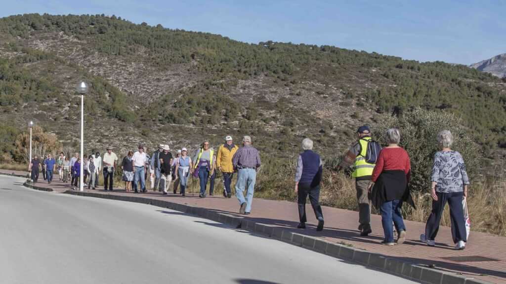
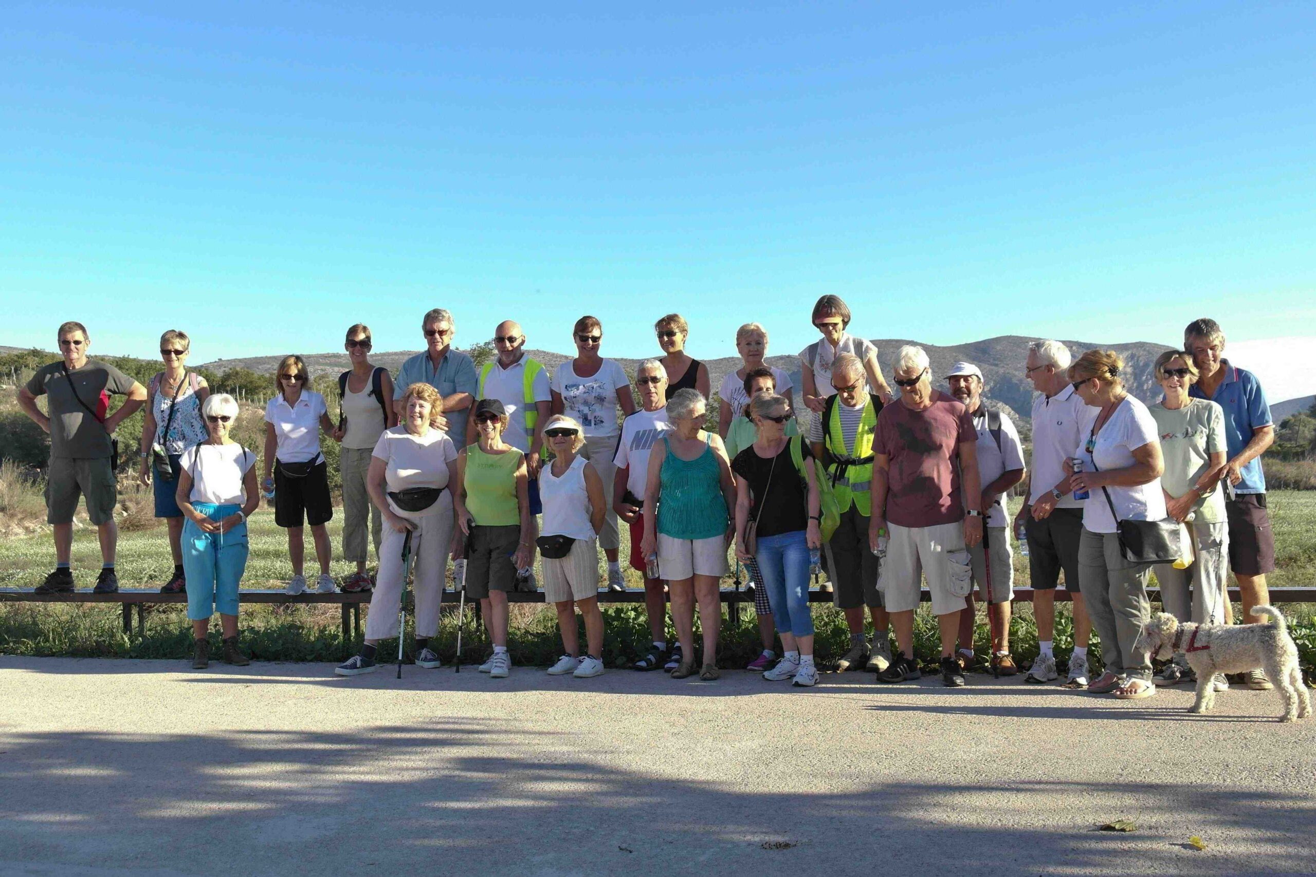
Category: Healthy Walking
-

-
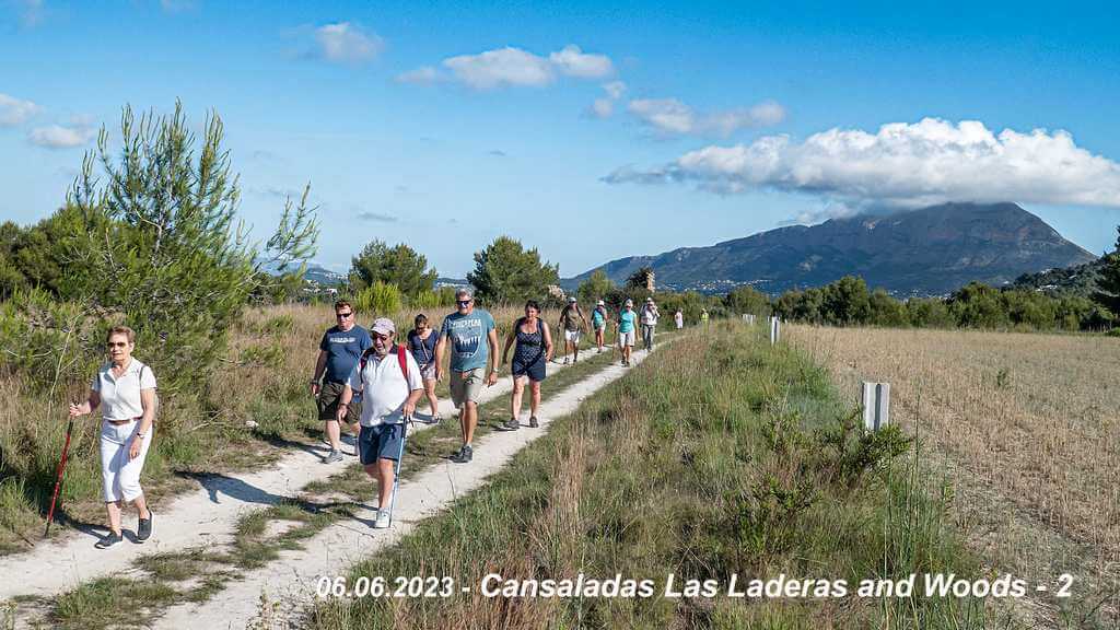
JAVEA Golfclub – Around the paths and woods of Ladoga / Las Laderas
Meeting Point CALLE LAGO TANGANYKA parking area. GPS: 38°45’07.1″N 0°09’47.4″E Walking Route Distance : Around the woods and tracks of the Ladoga and Las Laderas area. Terrain Walking Surface Some tarmac roads, many compacted dirt paths (some rough). Ascent Some modest climbs, nothing severe. Directions to Meeting Point From Moraira:Drive to Benitachell and turn right…
-
JAVEA – Rafalets to Tarraula roads and woods.
Meeting Point El Rafalet park in Calle Mar de Noruega of Benitachell road CV740, opposite ecopark.GPS: 38°45’44.5″N 0°08’52.7″E Walking Route Distance : Across to the La Colina area and around the woods and country lanes. Terrain Walking Surface Mostly roads but some rough paths through woods. Ascent Some, mostly on roads.. Directions to Meeting Point…
-
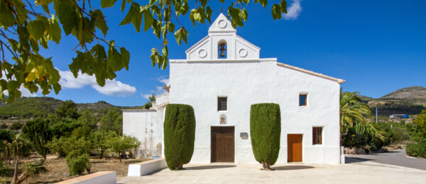
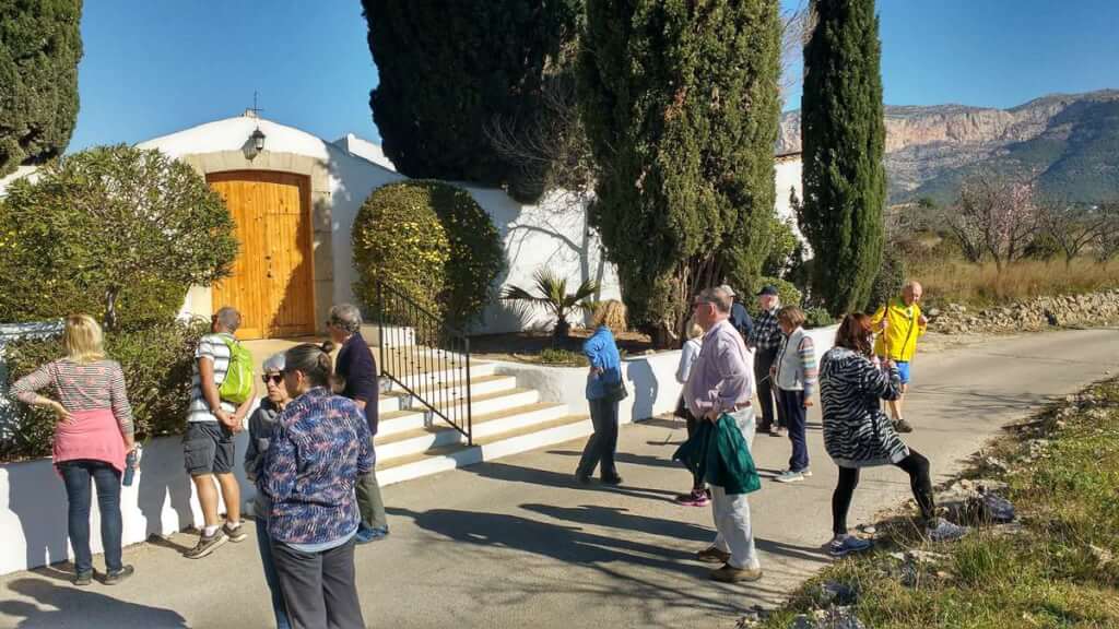
BENISSA : ERMITA de LLEUS
Meeting Point Benissa ERMITA de LLEUS, Partida Lleus, 23, 03720, Alicante.GPS: 38°40’45.3″N 0°00’49.1″E Walking Route Distance : 5,3 km Around the country lanes of Lleus area, through orchards of Almonds and pine wood. Terrain Walking Surface Mostly well made surfaces (tarmac, concrete), but some stoney track and dirt road. Proper walking shoes required ! Ascent…
-
JESUS POBRE: Eastern campo, Cemetery & Church
Meeting Point Jesus Pobre: Cami Jesús Pobre i Pedreguer a Xàbia. GPS: 38°47’53.2″N , 0°04’58.5″E Walking Route Distance : Around the lanes and tracks that surround Jesus Pobre. Amazing views in all directions. Past Jesus Pobre cemetery and church, through part of the town. Terrain Walking Surface Almost all tarmac or concrete roads, part muddy…
-
BENISSA – Southerly walk near SENIJA
Meeting Point 1.75Km along the Jalon Road from Benissa.GPS: 38°43’21.2″N 0°01’42.2″E Walking Route Distance: 4,6 km Around the country lanes between Benissa and Senija, through orchards of olives , Almonds, oranges and vineyards. Terrain Walking surface Walking Surface: Half tarmac, half gravel paths Ascent Negligible – two short (50m) hills. Directions to Meeting Point Coming…
-
LLIBER – Lliber zoo
Meeting Point The Lliber public parking at Travesia el Pla. GPS: 38.74194 N, 0.00765 E Walking Route Distance : 5,35 km Starts in the village and follows the valley paths returning to Llíber by the village back roads.We pass a small zoo hidden between Lliber and Gata. Excellent views of the valley and the campo…
-
GATA – Colegio to Nature reserve
Meeting Point At end of carrer San Josep(calle san jose) turn left, Car park in Via Pista next to Colegio.GPS: 38.770584 N, 0.082254 E Walking Route Distance : 5 km Walk though the nature reserve behind the Colegio and before the AP7, passing the aeroclub of model airplanes. Terrain Walking Surface Mostly good tarmac roads,…
-
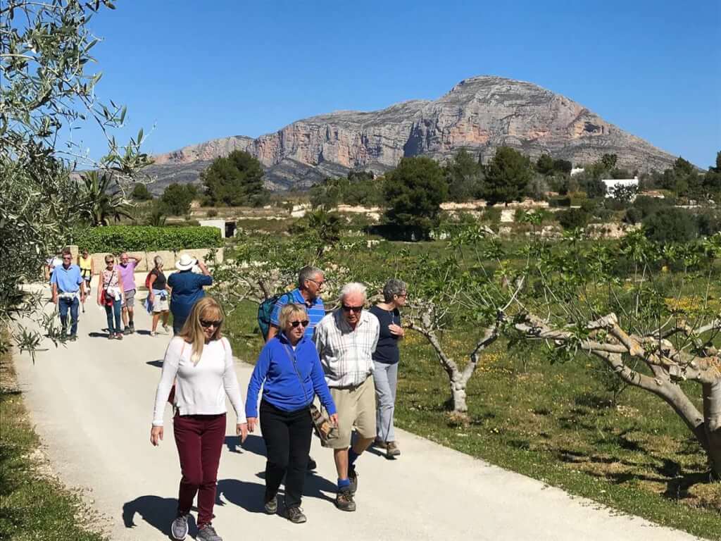
MORAIRA : From ALGAS L’ Andrago to Cap Blanc
Meeting Point Algas car park. GPS: 38°40’53.2″N 0°07’12.6″E Walking Route Distance : 4,17 km From Algas to Cap Blanc and loop back Terrain Walking Surface Pavement and road, undulating, Some steps. Ascent A few short steep roads Directions to Meeting Point Go along the Moraira to Calpe road. At the first roundabout turn left to…
-
TEULADA Font Santa – Sisca CCW
Meeting Point Font Santa car park, Camí la Font Santa, 03725 Teulada, Alicante.GPS: 38°42’54.8″N 0°07’33.6″E Walking Route Distance : 4,5 km Around the country lanes of Teulada, partly through vineyards and orchards. Terrain Walking Surface Almost all tarmac or concrete roads, part muddy and uneven if wet. Some trail through the fields. Ascent 130m ascent…
-
BENITACHELL- ALDI to camis and tracks between MORAIRA and BENITACHELL
Meeting Point Aldi Parking Benitachell. GPS: 38°42’58.7″N 0°08’23.9″E Walking Route Distance : An undulating route with a level middle Terrain Walking Surface Rough tracks and tarmac roads. Ascent Altitude difference 60 metres. Directions to Meeting Point From Moraira:Drive to Benitachell (CV737). At the Mercadona roundabout turn right and drive to the ALDI parking.From Benitachell:Take the…
-
TEULADA – Countryside camis Railway via Cemetary
Meeting Point Teulada Poligono car park. GPS: 38°43’42.4″N 0°05’37.3″E Walking Route Distance : 5,4 km Camis and paths railway station and cemetery Terrain Walking Surface Mostly tarmac roads. section of 400m dirt/stones and 150m woods path. Route goes under the railway once. Proper walking shoes required ! Ascent Medium hill out of Teulada. Mostly flat.…